1
/
of
6
slopeandaspect
Mt. Rainier
Mt. Rainier
Regular price
$ 40.00 USD
Regular price
Sale price
$ 40.00 USD
Unit price
/
per
Couldn't load pickup availability
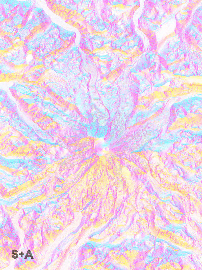
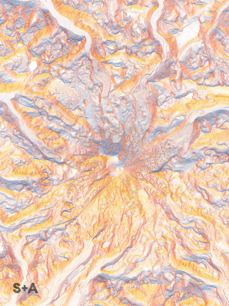
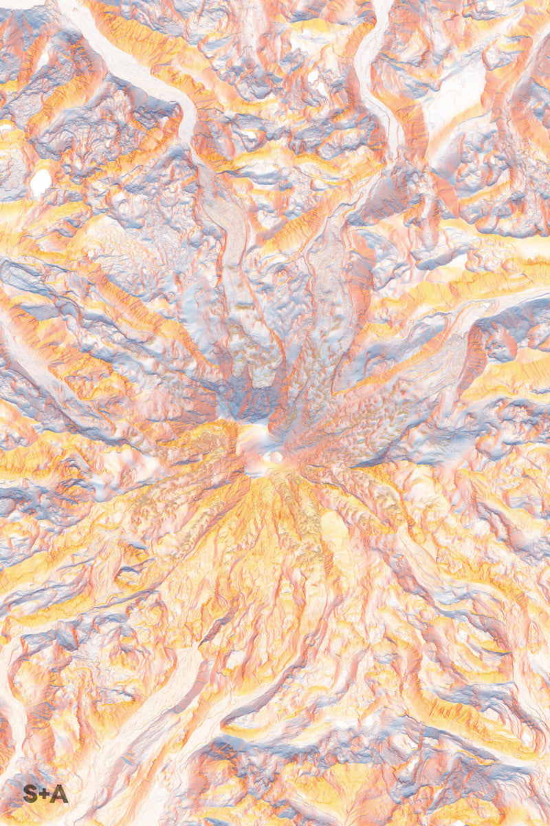
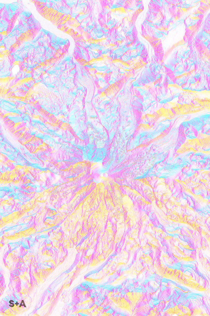
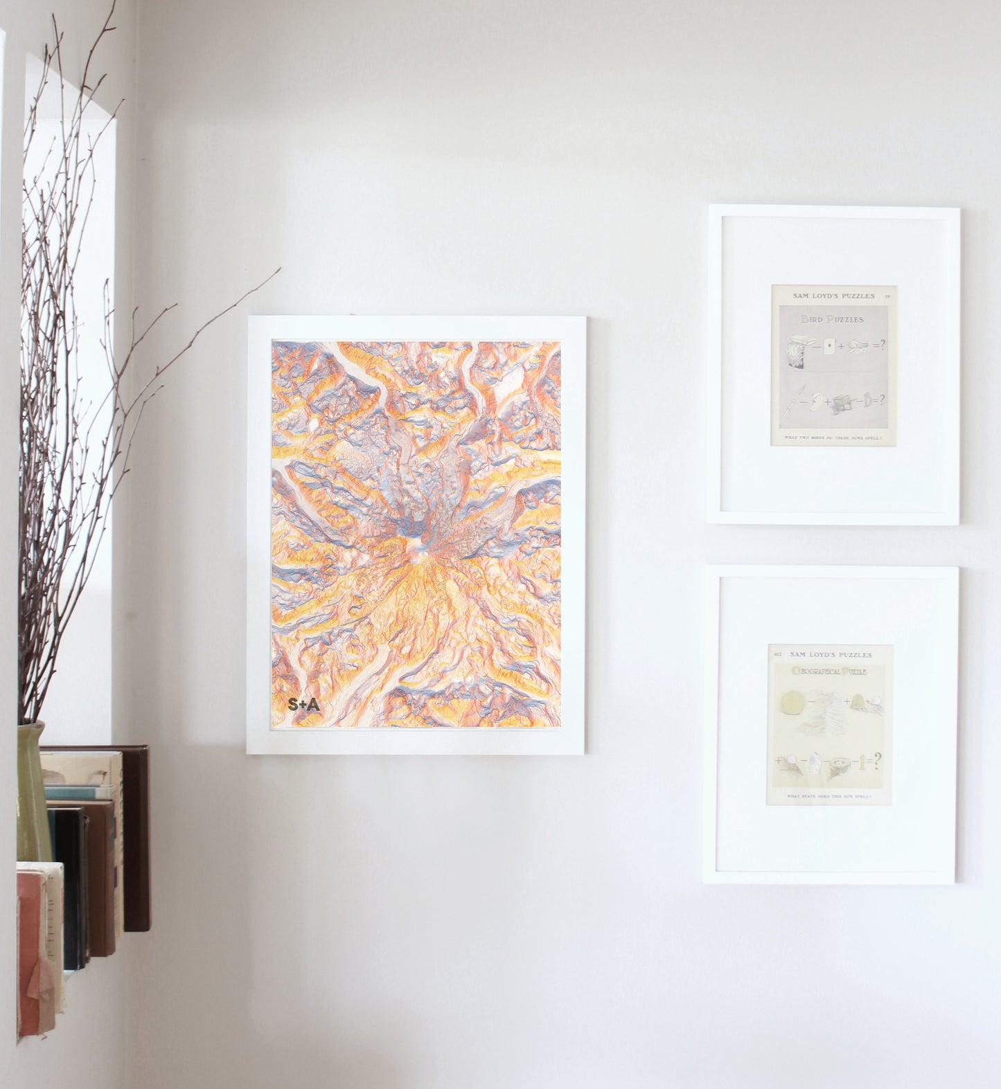
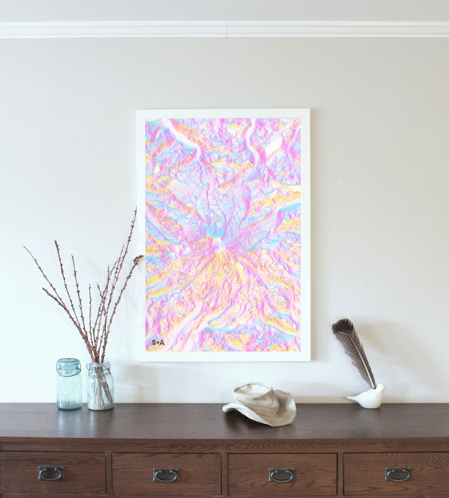
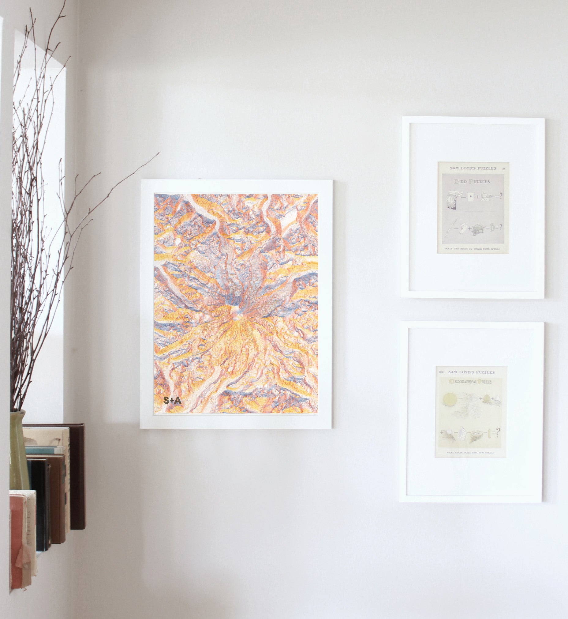
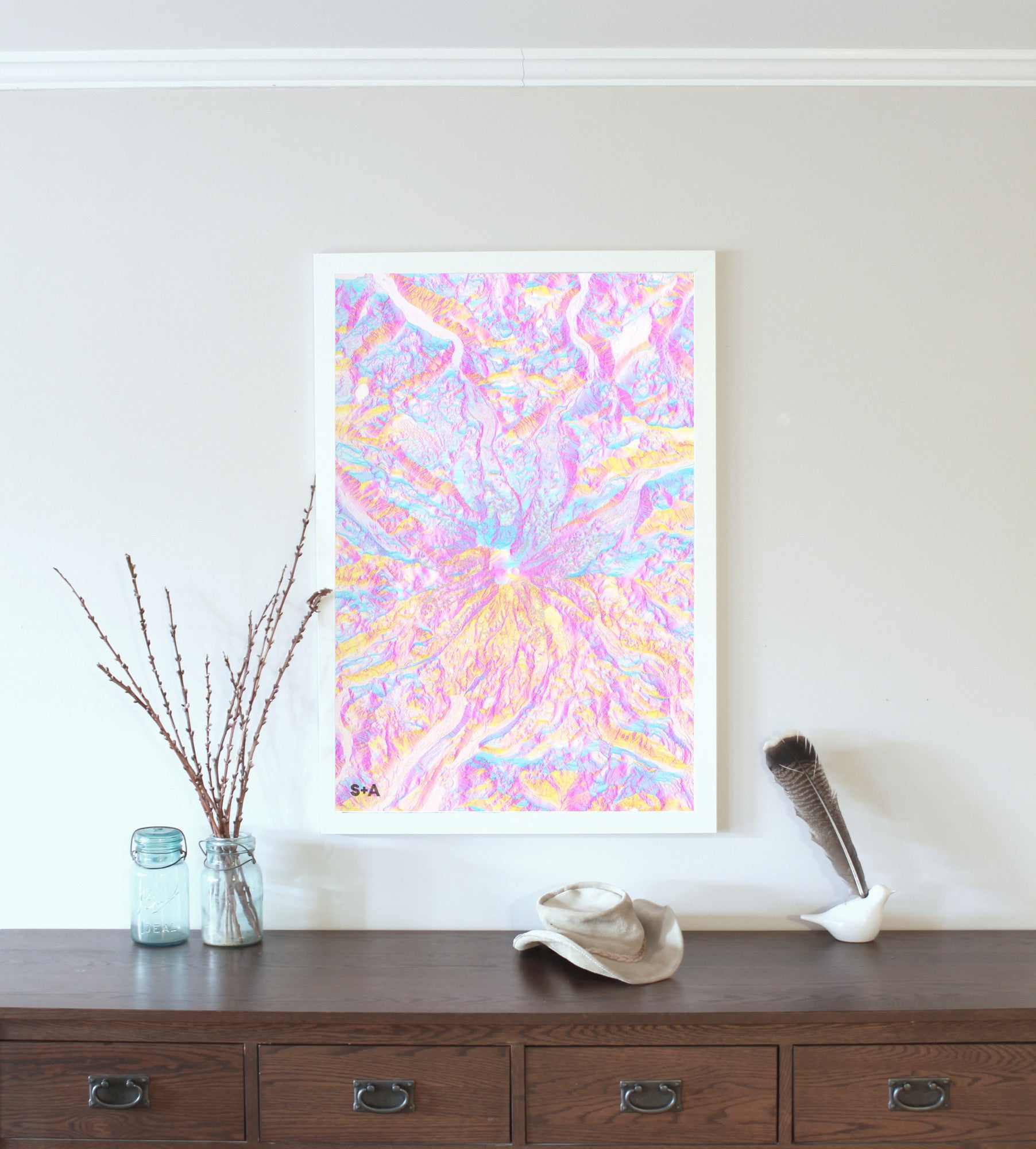
The high resolution data used in this map series allows you to see the folding and shifting ice in the many glaciers that flow down from Mt. Rainier, the highest mountain in the Cascade mountain range and the state of Washington. The Columbia Crest is Mt. Rainier's highest peak at an elevation of 14,411 ft.
A note about frames: We have had great success with Studio Décor Belmont frames from Michael's. Both 18" x 24" and 24" x 36" frames can be purchased here.
Notes about prints:
- Printed on an Epson Stylus Pro 7900
- Using Epson UltraChrome HDR ink-jet technology
- Paper is 10.3 mil thick Heavyweight stock Epson Enhanced Matte Paper
- Maps are shipped rolled
- Maps are printed full bleed, but provide a 1/2-inch for matting and/or framing
Share
