slopeandaspect
Brooklyn
Brooklyn
Couldn't load pickup availability
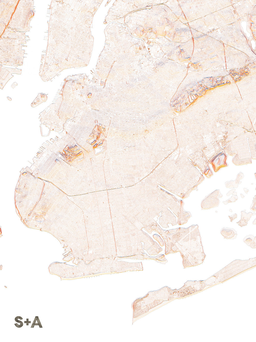
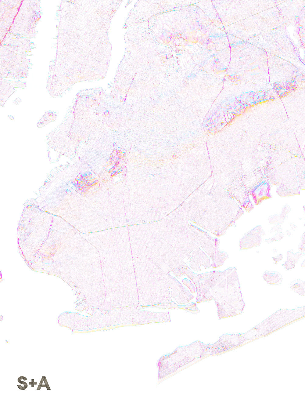
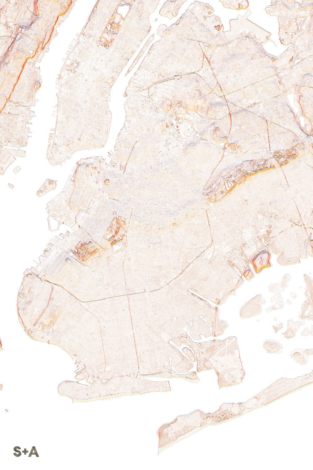
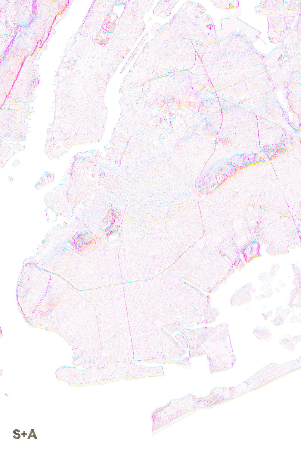
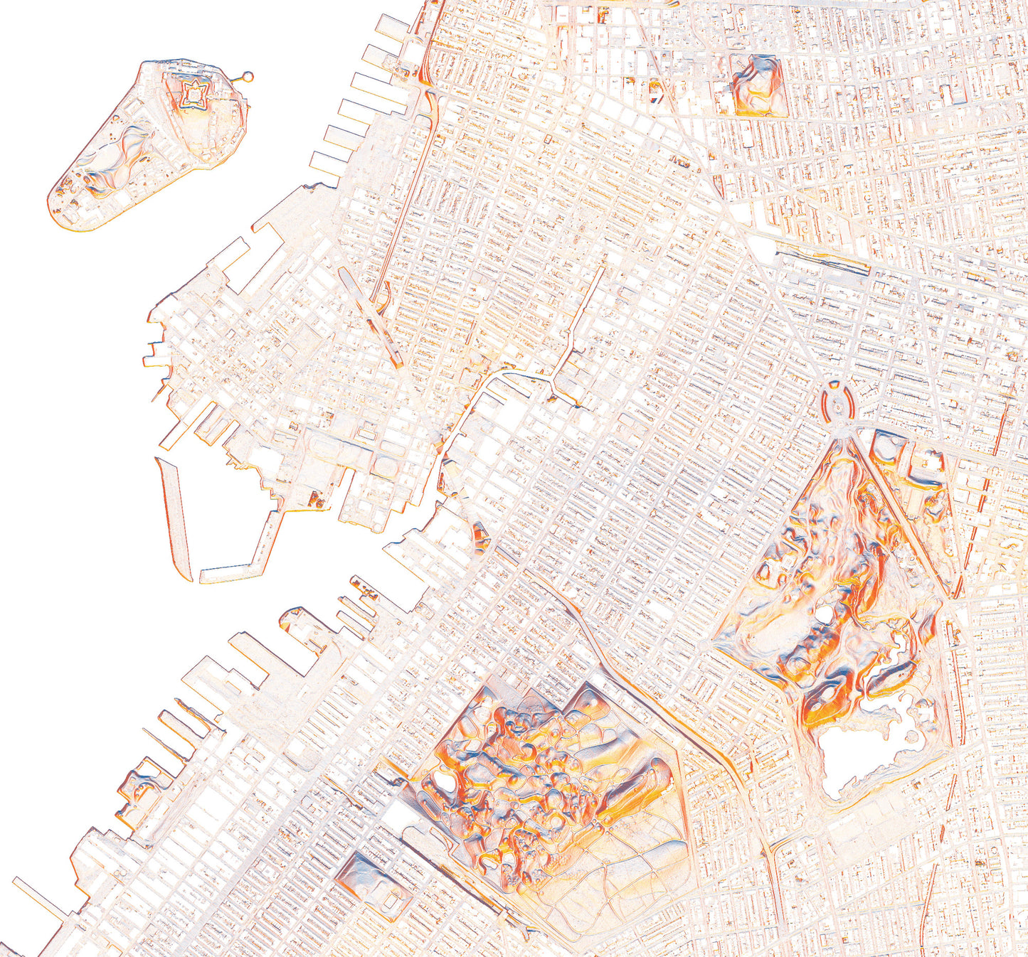
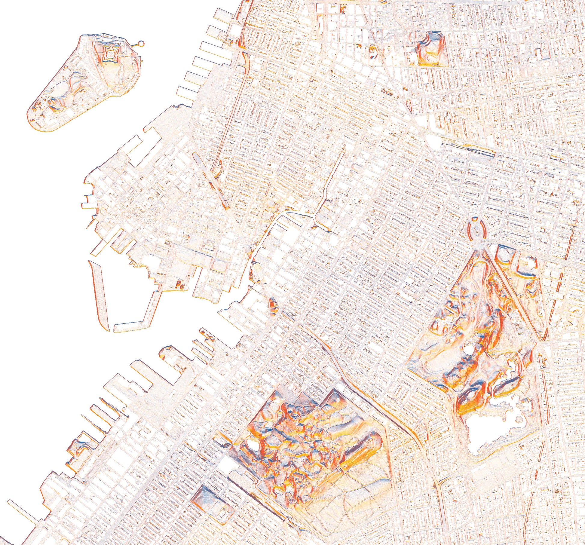
Brooklyn, home to over 2.5 million people and an area of 71 square miles, expands from the neighborhood of Greenpoint and McCarren park in the north to Coney Island and Jamaica Bay in the south. Like many urban areas, Brooklyn is relatively flat, though the parks have some great features that pop out of the landscape. In the center of the map, towards the west side of Brooklyn, we find Greenwood, then a quick jump east to Prospect Park, lifting from the map with their vibrant colors. Just north from here, towards the confluence of the East River and Hudson River, across from the southeastern edge of Manhattan is where you will find the neighborhoods of Fort Greene, Brooklyn Heights, Red Hook, and DUMBO.
10-meter elevation data from the USGS 3D Elevation Program, downloaded from The National Map.
A note about frames: We have had great success with Studio Décor Belmont frames from Michael's. Both 18" x 24" and 24" x 36" frames can be purchased here.
Notes about prints:
- Printed on an Epson Stylus Pro 7900
- Using Epson UltraChrome HDR ink-jet technology
- Paper is 10.3 mil thick Heavyweight stock Epson Enhanced Matte Paper
- Maps are shipped rolled
- Maps are printed full bleed, but provide a 1/2-inch for matting and/or framing
Share
