slopeandaspect
Aspen and Crested Butte
Aspen and Crested Butte
Couldn't load pickup availability
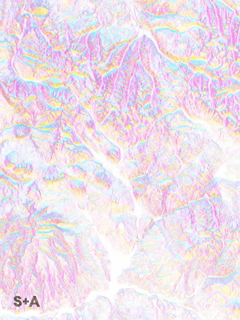
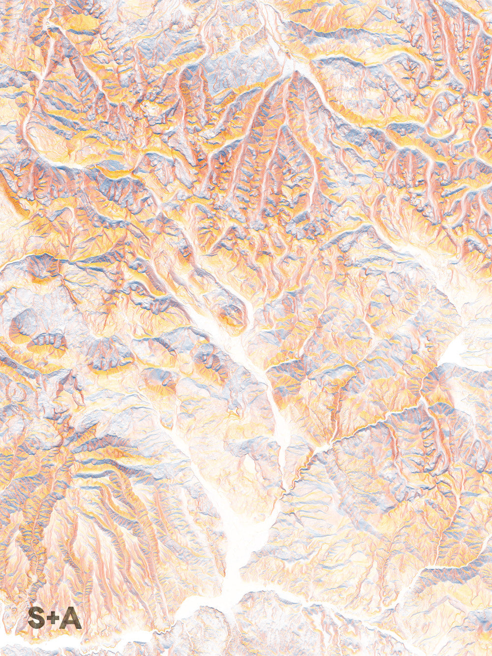
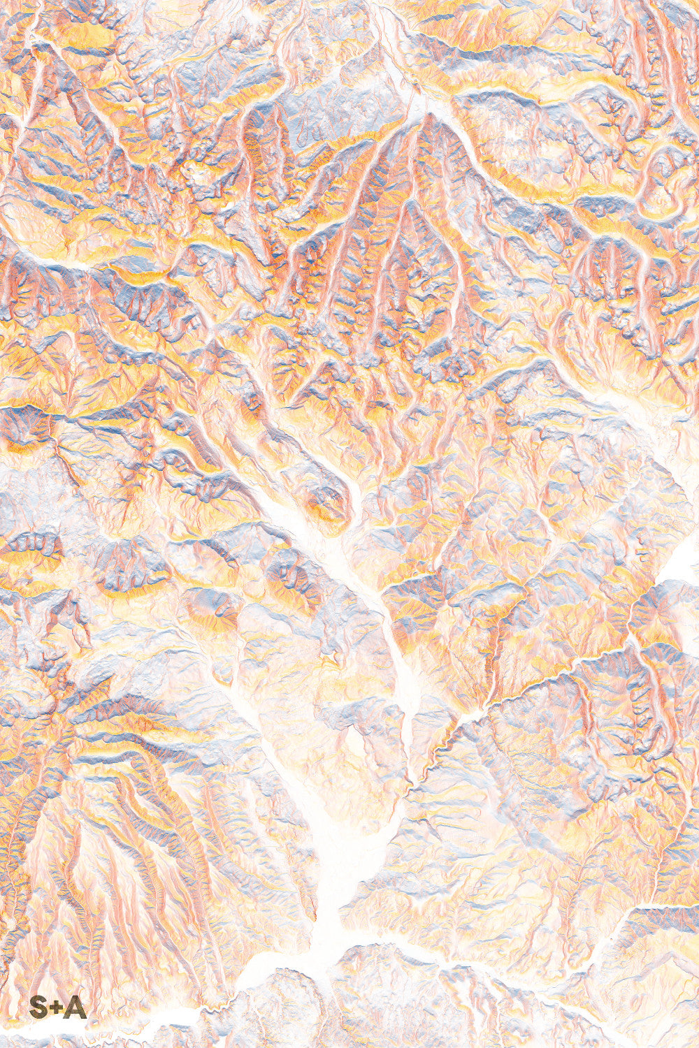
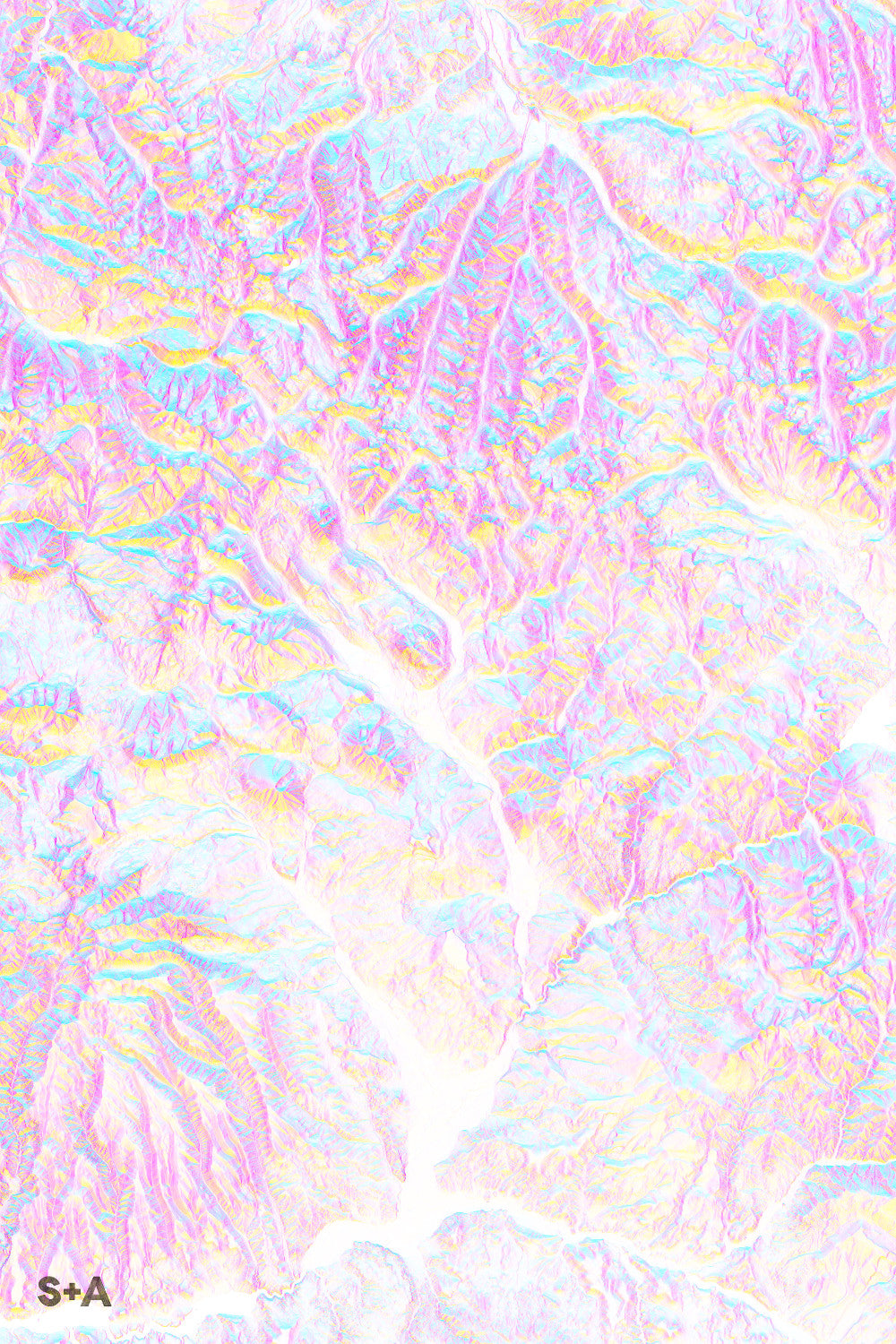
The Maroon Bells paint across the top half of this map. At the far northern edge of the range, in the center of the map, sit the picturesque towns of Aspen and Snowmass with their world class ski resorts. Head south to get lost along the steep slopes of Maroon Peak and Mount Baldy. Toward the bottom edge of the range, Crested Butte pops up on the landscape, and offers a lone peak of steep slopes and wide open views of the valley below. South on 135 will bring you to the mouth of Taylor Canyon in Almont, followed by the town of Gunnison, whose history dates back to the booming mining era of the 1800's.
10-meter elevation data from the USGS 3D Elevation Program, downloaded from The National Map.
A note about frames: We have had great success with Studio Décor Belmont frames from Michael's. Both 18" x 24" and 24" x 36" frames can be purchased here.
Notes about prints:
- Printed on an Epson Stylus Pro 7900
- Using Epson UltraChrome HDR ink-jet technology
- Paper is 10.3 mil thick Heavyweight stock Epson Enhanced Matte Paper
- Maps are shipped rolled
- Maps are printed full bleed, but provide a 1/2-inch for matting and/or framing
Share
