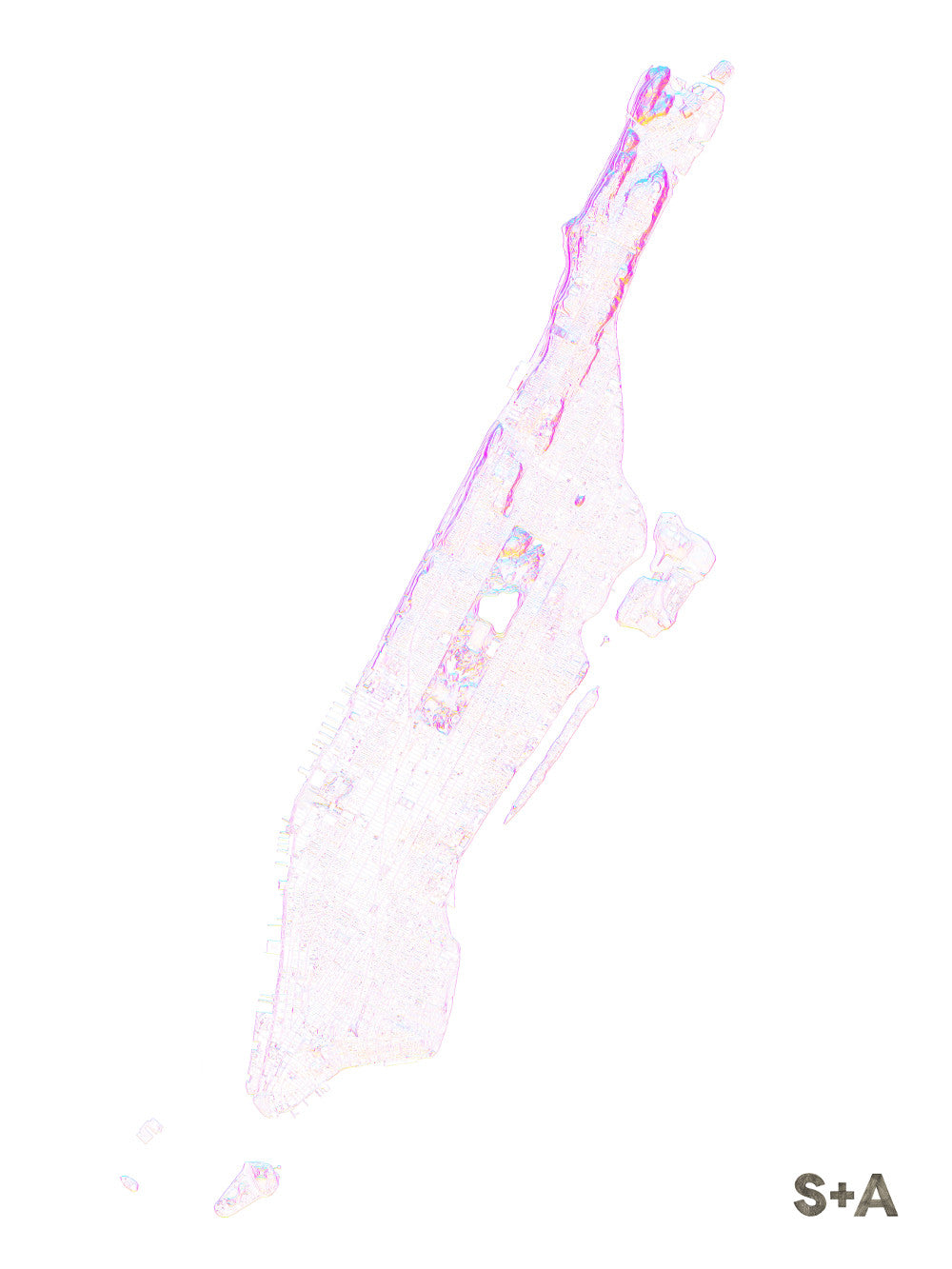
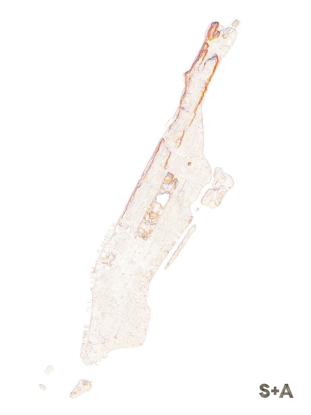
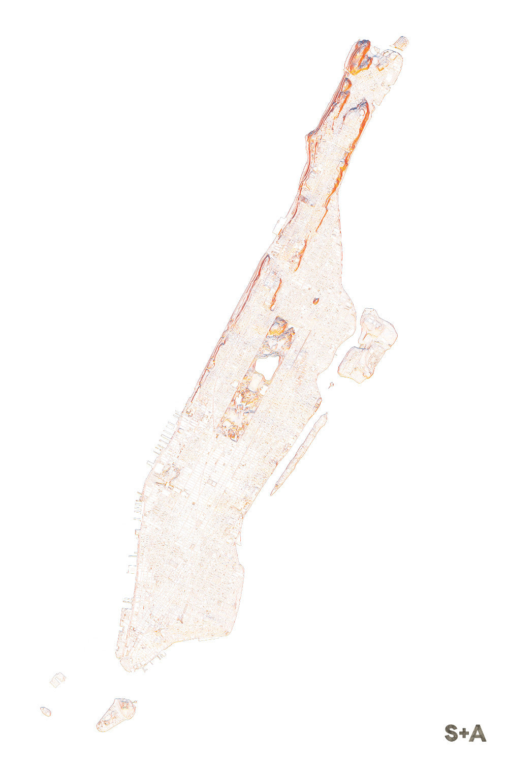
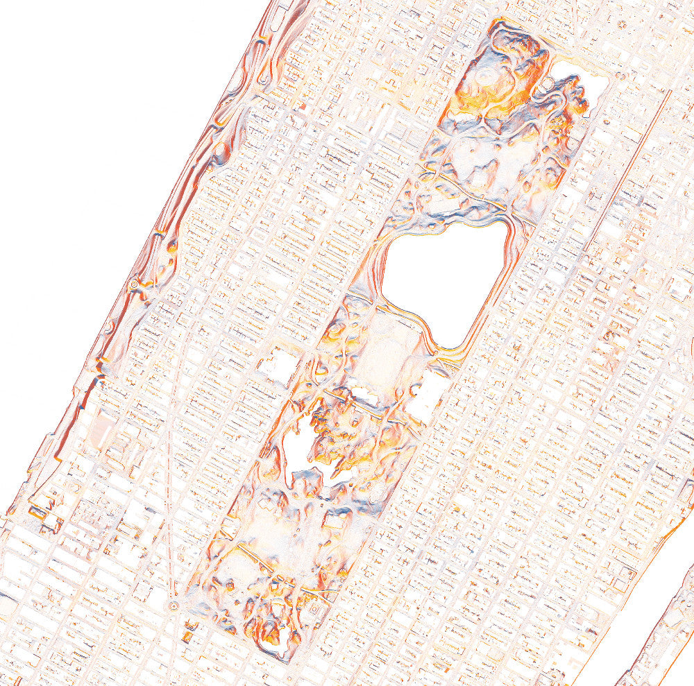
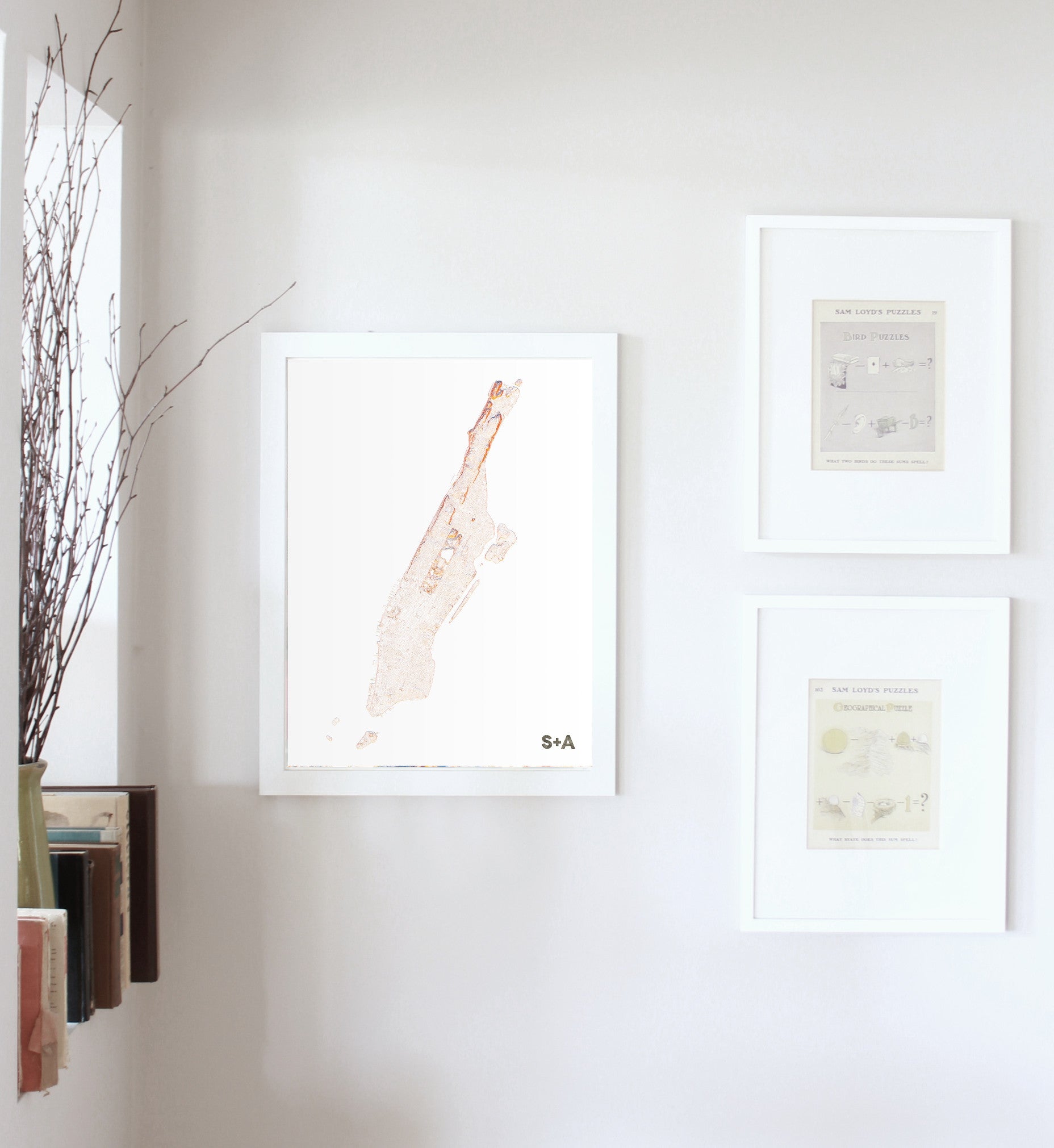
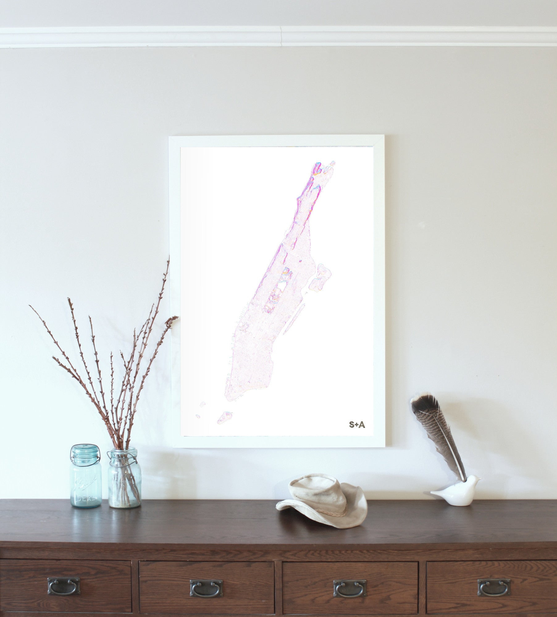
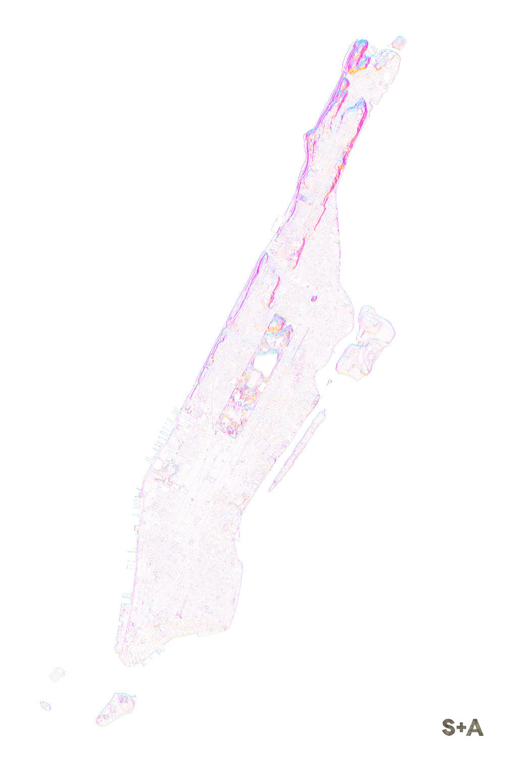
Our Manhattan map is as subtle as they come, but just as gorgeous as the vibrant colors in our series of maps in the mountains. Using high resolution elevation data, Central Park pops through the landscape of buildings and streets. A handful of ponds are circled by pathways and trails, visible in this 1-meter data set. Strawberry Fields and the Bethesda Fountain are situated just below The Lake, and Heckscher Playground and Wollman Rink can be found on the southern edge of the park. On the northern tip of the island, the appropriately named Washington Heights sits just above the rest of the neighborhoods. The lower part of Manhattan flattens and fans out through Midtown, Greenwich Village, Soho, and Tribeca.
A note about frames: We have had great success with Studio Décor Belmont frames from Michael's. Both 18" x 24" and 24" x 36" frames can be purchased here.
Notes about prints:
Printed on an Epson Stylus Pro 7900
Using Epson UltraChrome HDR ink-jet technology
Paper is 10.3 mil thick Heavyweight stock Epson Enhanced Matte Paper
Maps are shipped rolled
Maps are printed full bleed, but provide a 1/2-inch for matting and/or framing