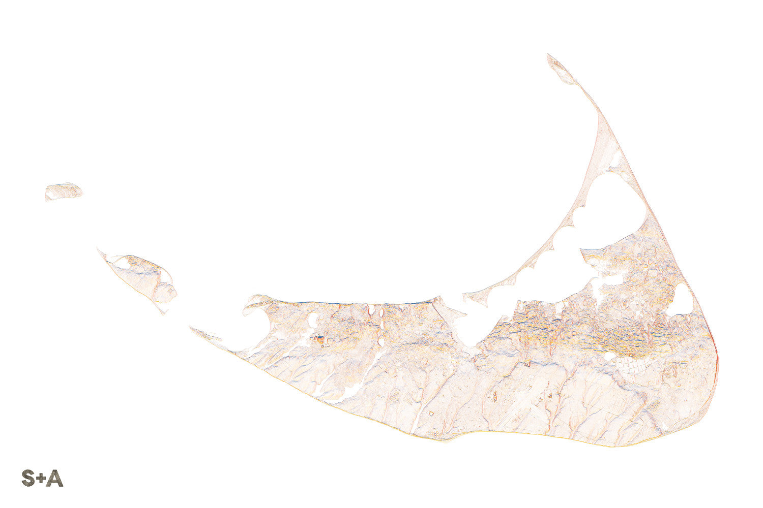
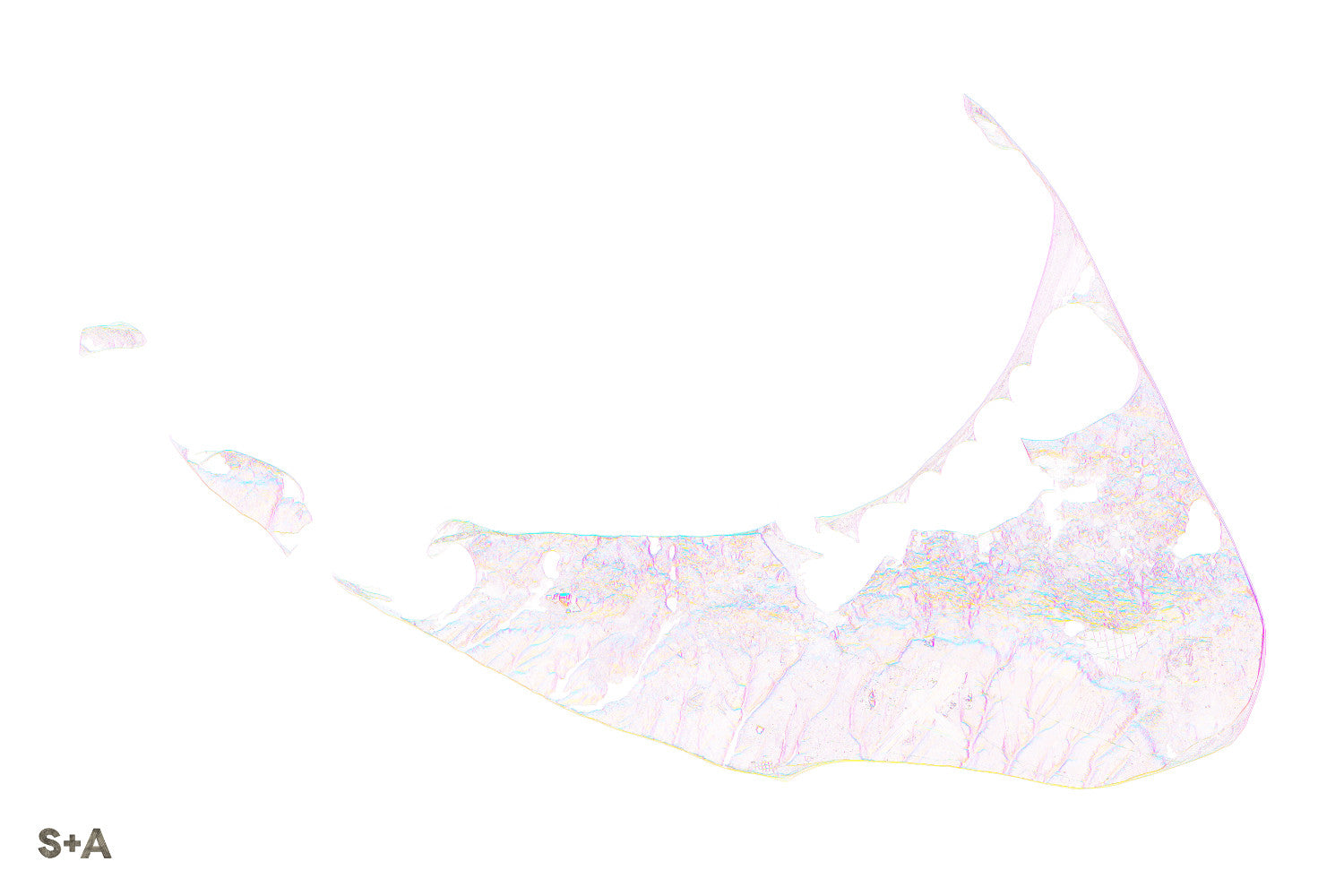
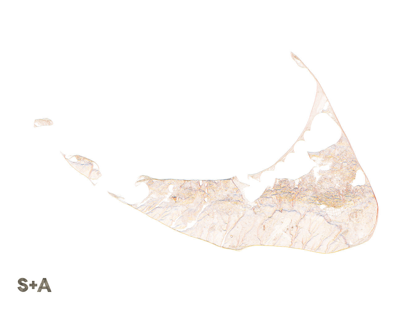
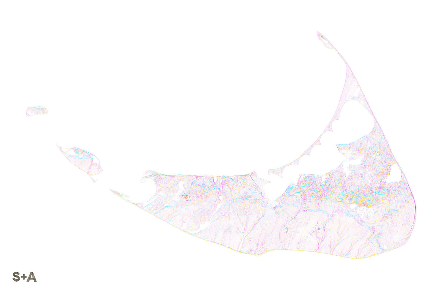
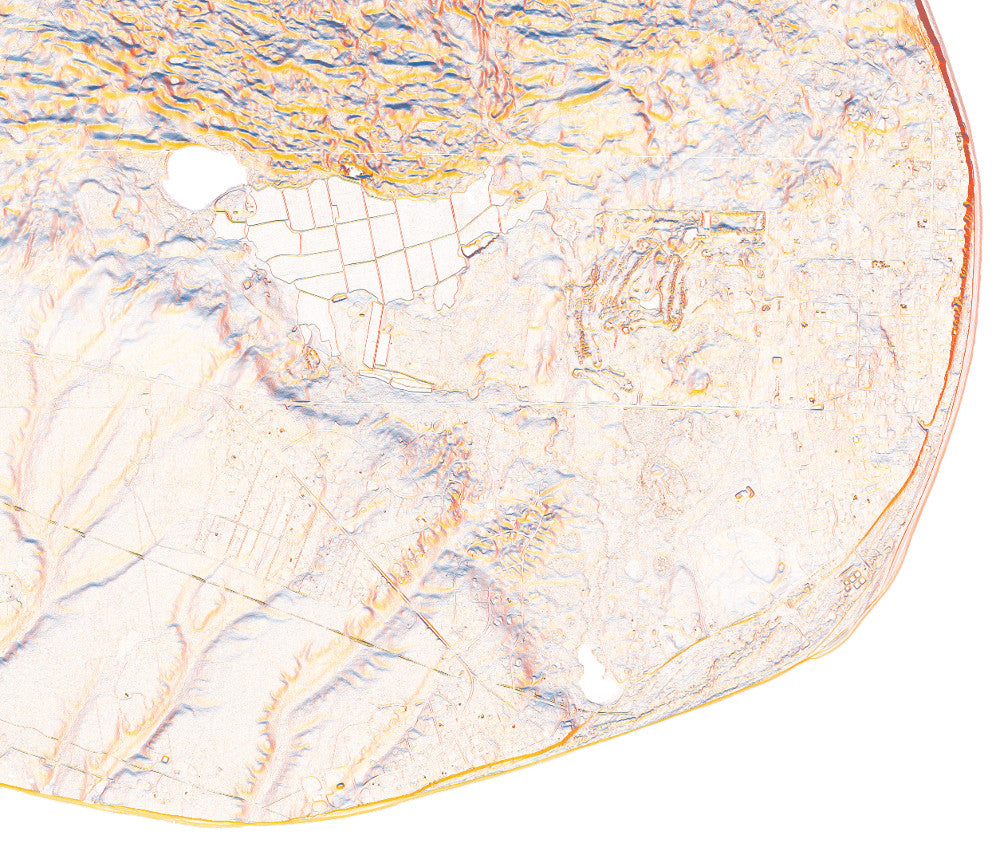
Our Nantucket map may win the prize of "most subtle" Slope + Aspect map to date. That said, the details in this map are stunning, pulled from high resolution elevation data, we can easily see the glacial moraine along the northern half of the island and the gentle slopes of outwash plain through the southern half. Beaches in the north, including Jetties and Brant Point are protected by the concave shape of the shoreline and Nantucket Sound. The south shore provides for larger waves, with beaches facing out towards the Atlantic Ocean. Continue past the western tip of Nantucket, and you will first come across Tuckernuck Island, followed by Muskeget Island.
A note about frames: We have had great success with Studio Décor Belmont frames from Michael's. Both 18" x 24" and 24" x 36" frames can be purchased here.
Notes about prints:
Printed on an Epson Stylus Pro 7900
Using Epson UltraChrome HDR ink-jet technology
Paper is 10.3 mil thick Heavyweight stock Epson Enhanced Matte Paper
Maps are shipped rolled
Maps are printed full bleed, but provide a 1/2-inch for matting and/or framing