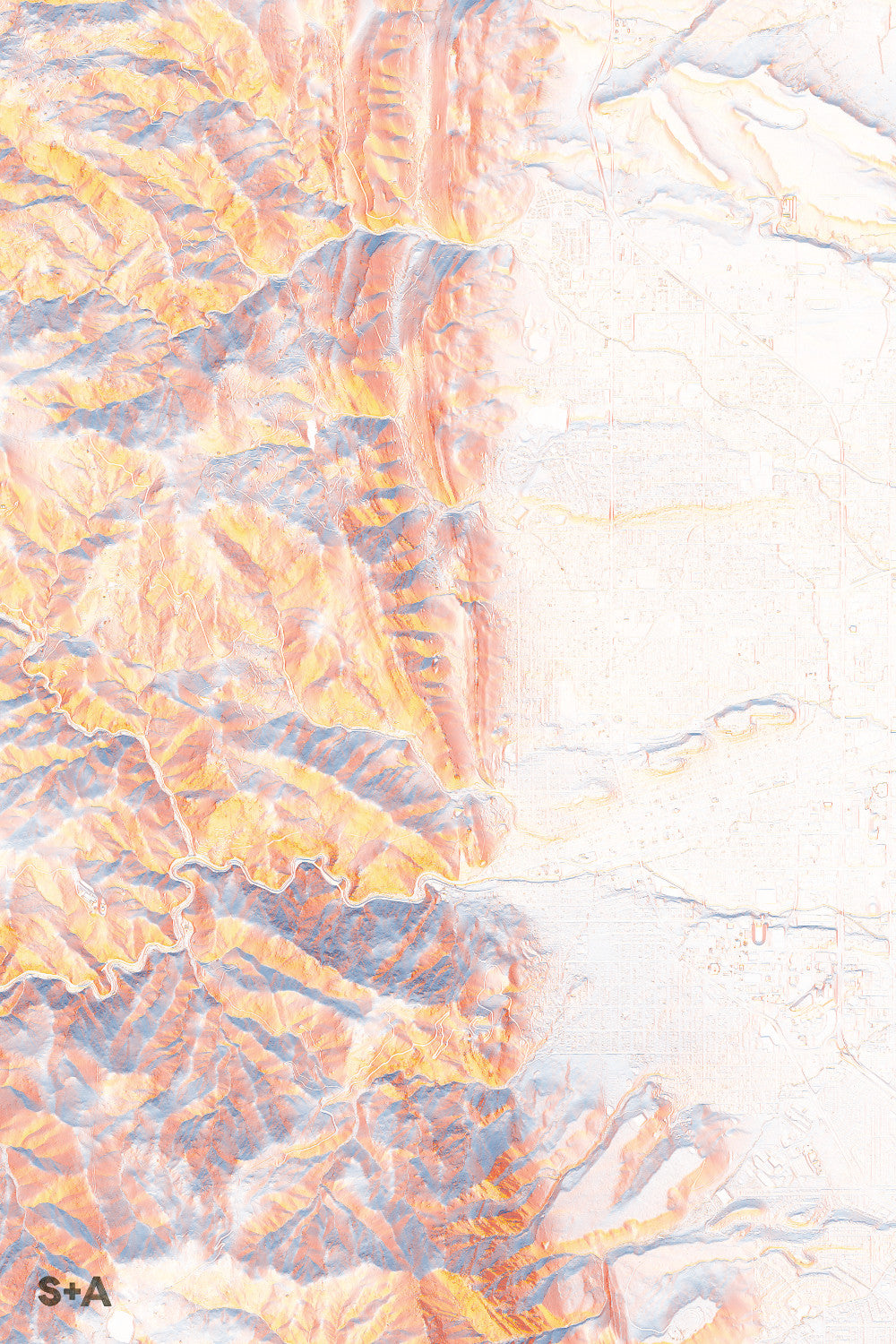
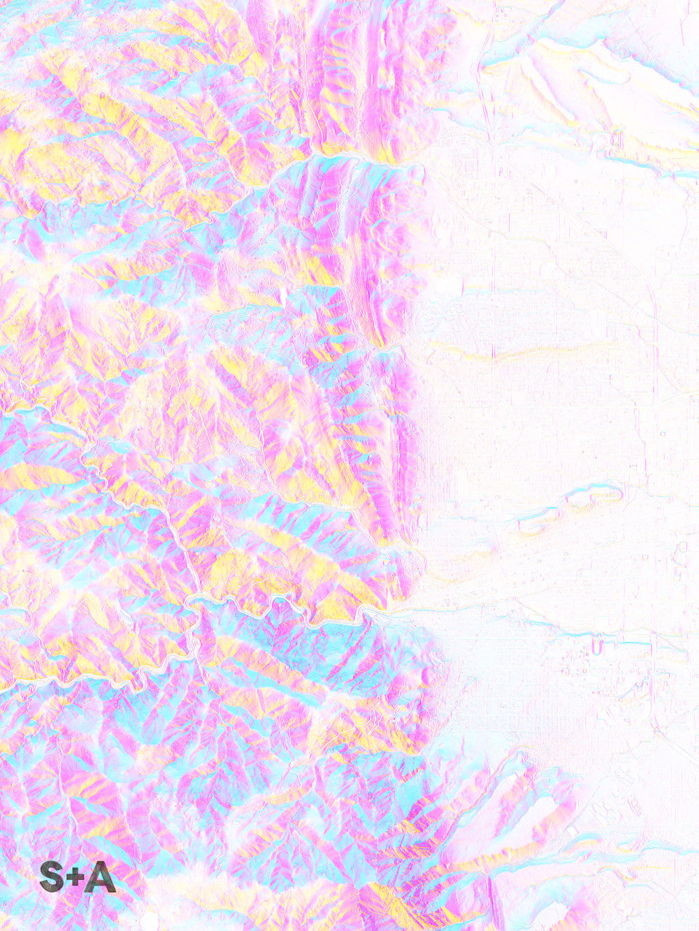
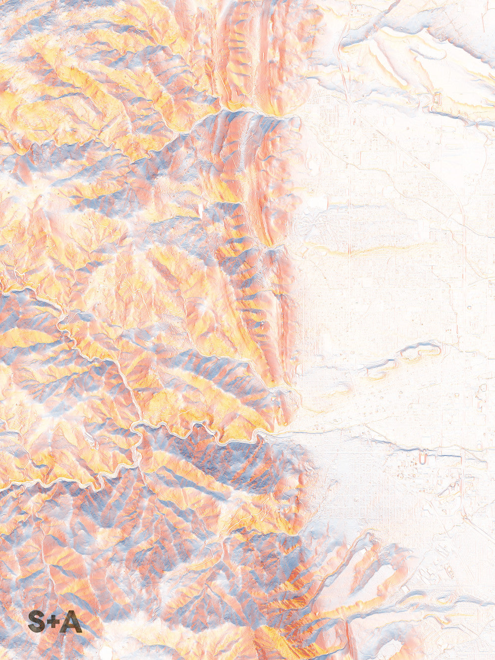
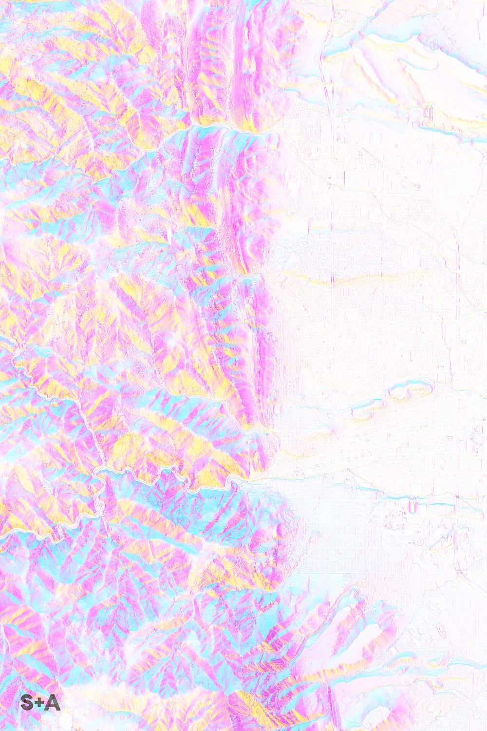
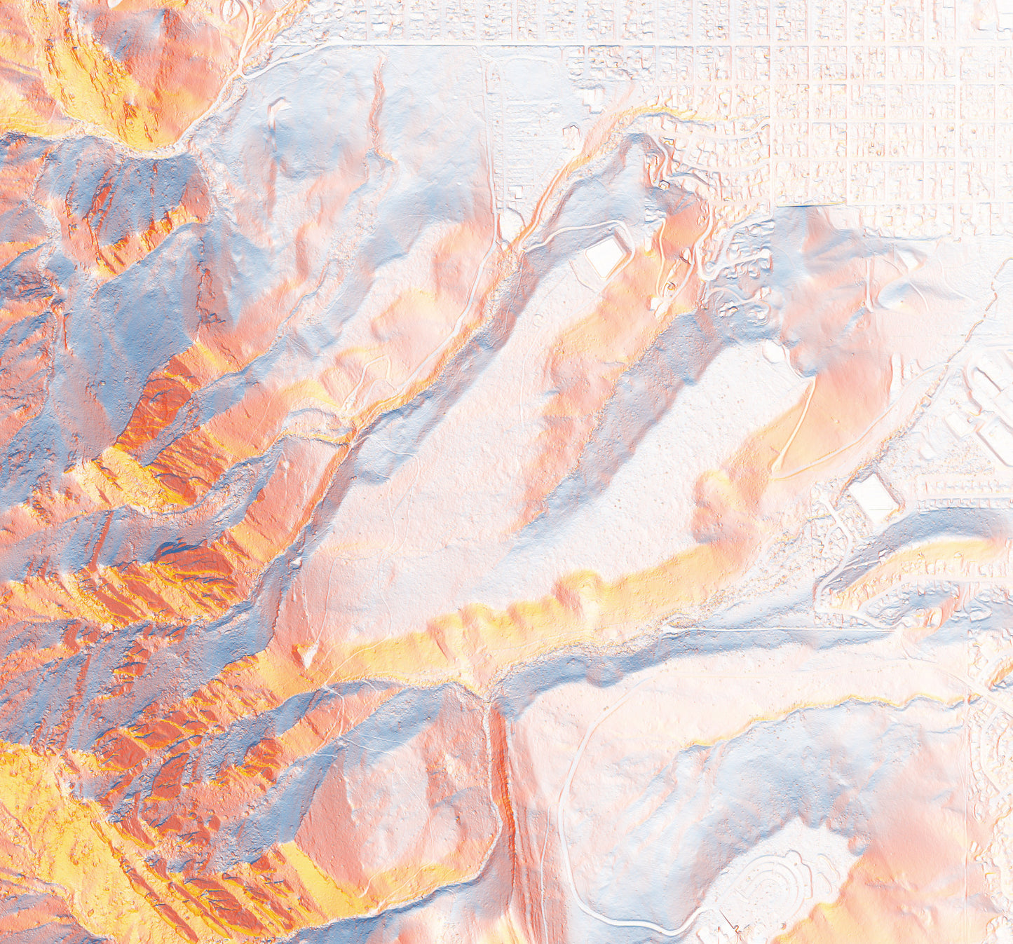
The Flatirons pop up from Chautauqua Park just above the campus of CU Boulder. The steep faces of these shear rocks make for some great rock climbing. To the north, the map centers on Boulder Creek, which flows down from the Rocky Mountains, through the Front Range, and into downtown Boulder, just south of Pearl Street. On a bike, try out the harrowing switchbacks of the Flagstaff hill climb.
The LiDAR data used in these maps was created by the Boulder Creek Critical Zone Observatory (CZB) and can be accessed here.
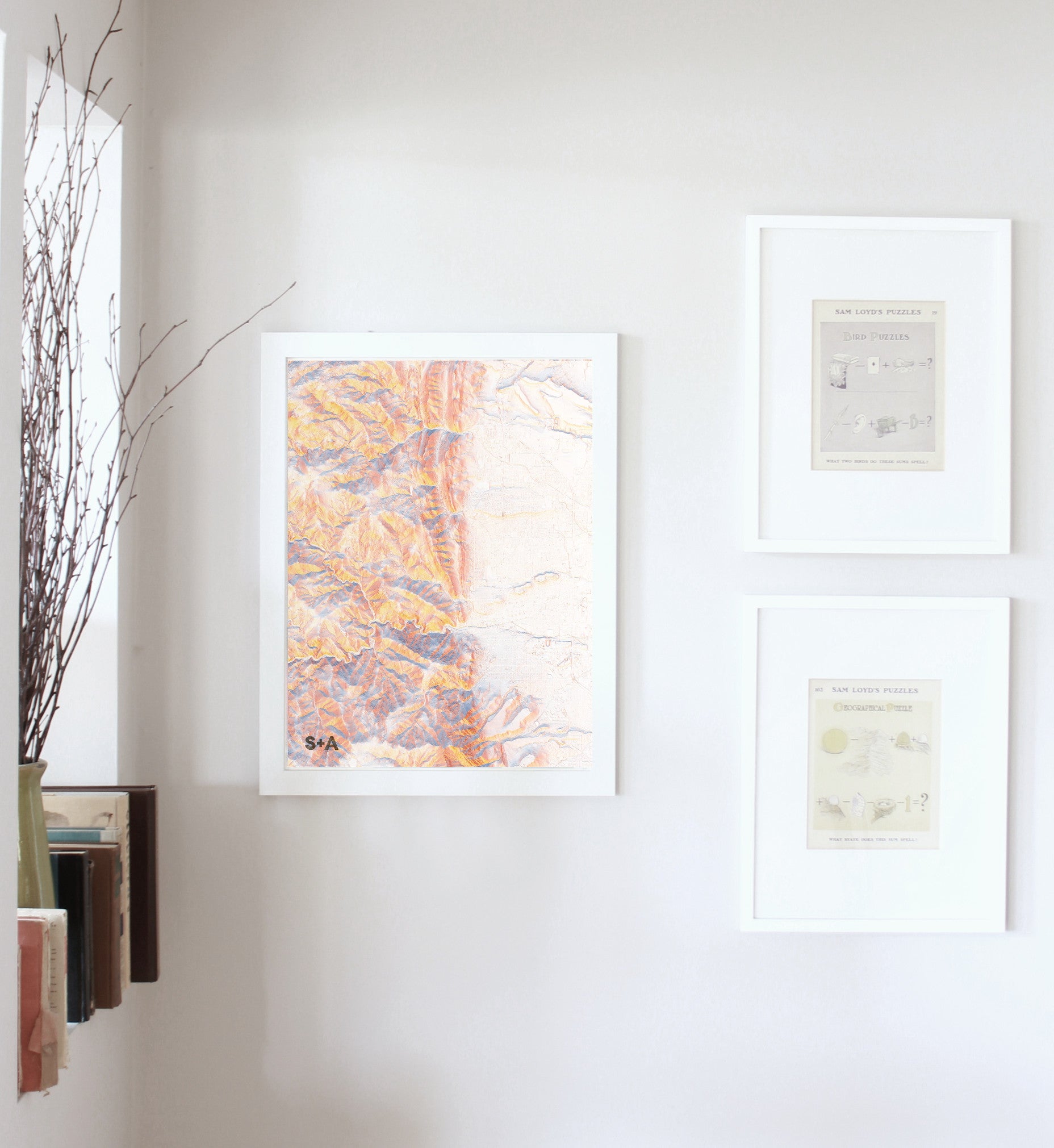
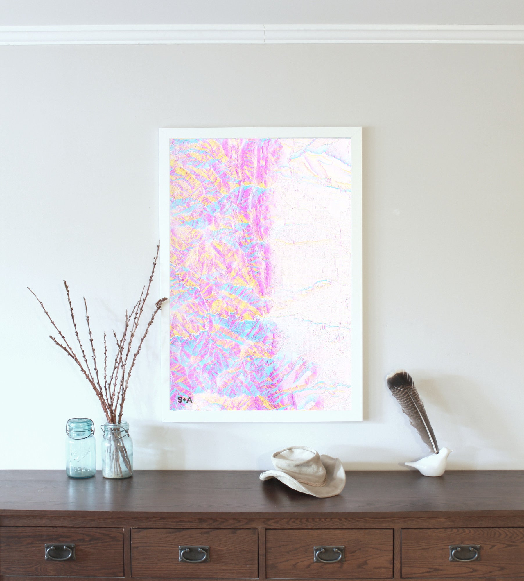
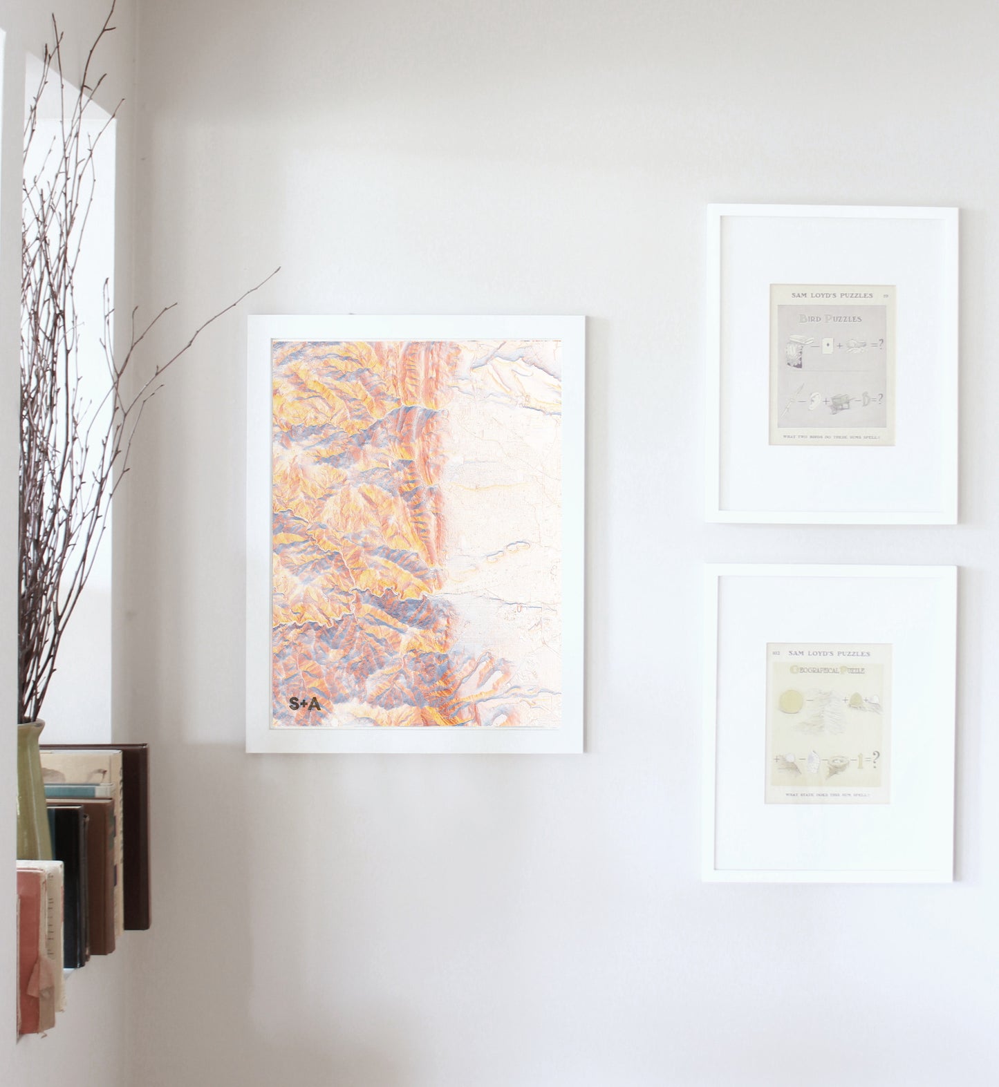
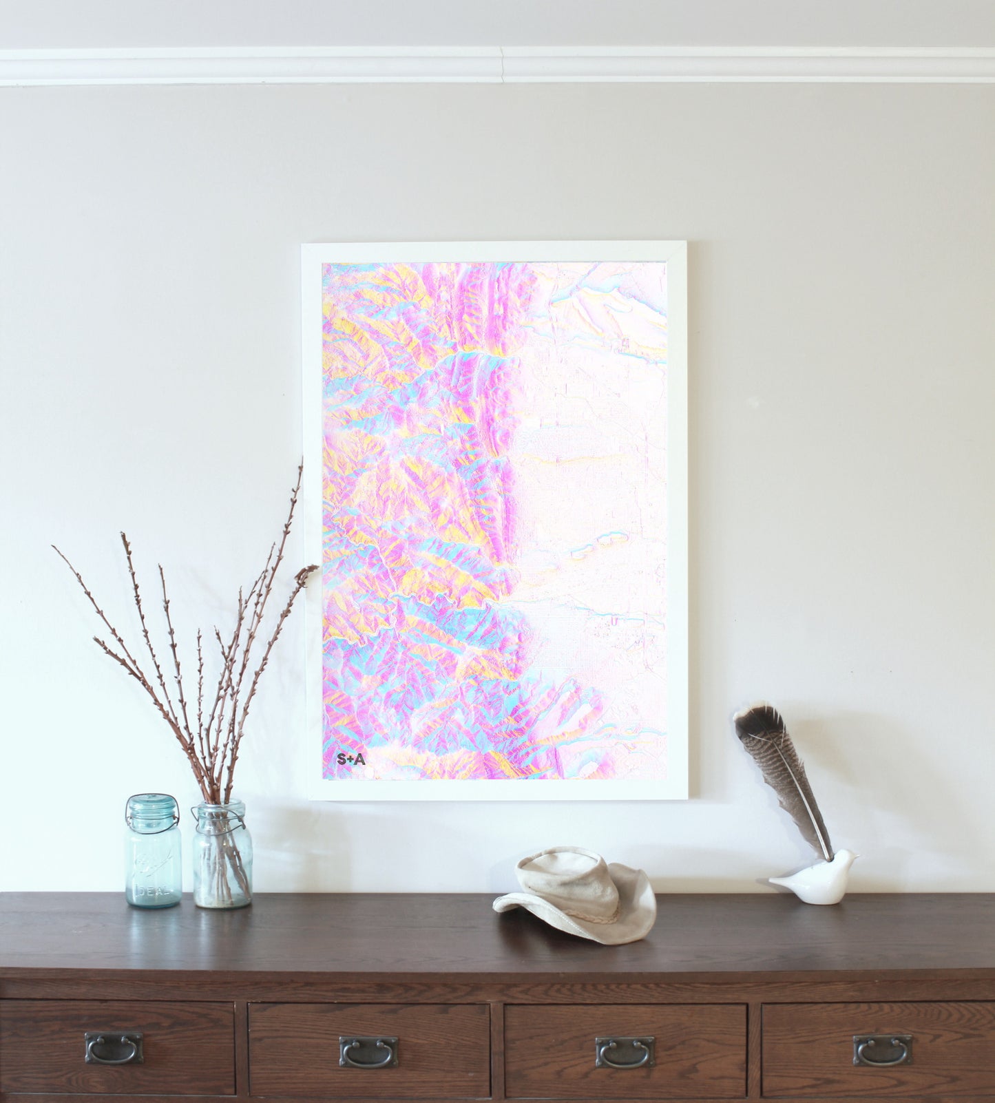
A note about frames: We have had great success with Studio Décor Belmont frames from Michael's. Both 18" x 24" and 24" x 36" frames can be purchased here.
Notes about prints:
Printed on an Epson Stylus Pro 7900
Using Epson UltraChrome HDR ink-jet technology
Paper is 10.3 mil thick Heavyweight stock Epson Enhanced Matte Paper
Maps are shipped rolled
Maps are printed full bleed, but provide a 1/2-inch for matting and/or framing