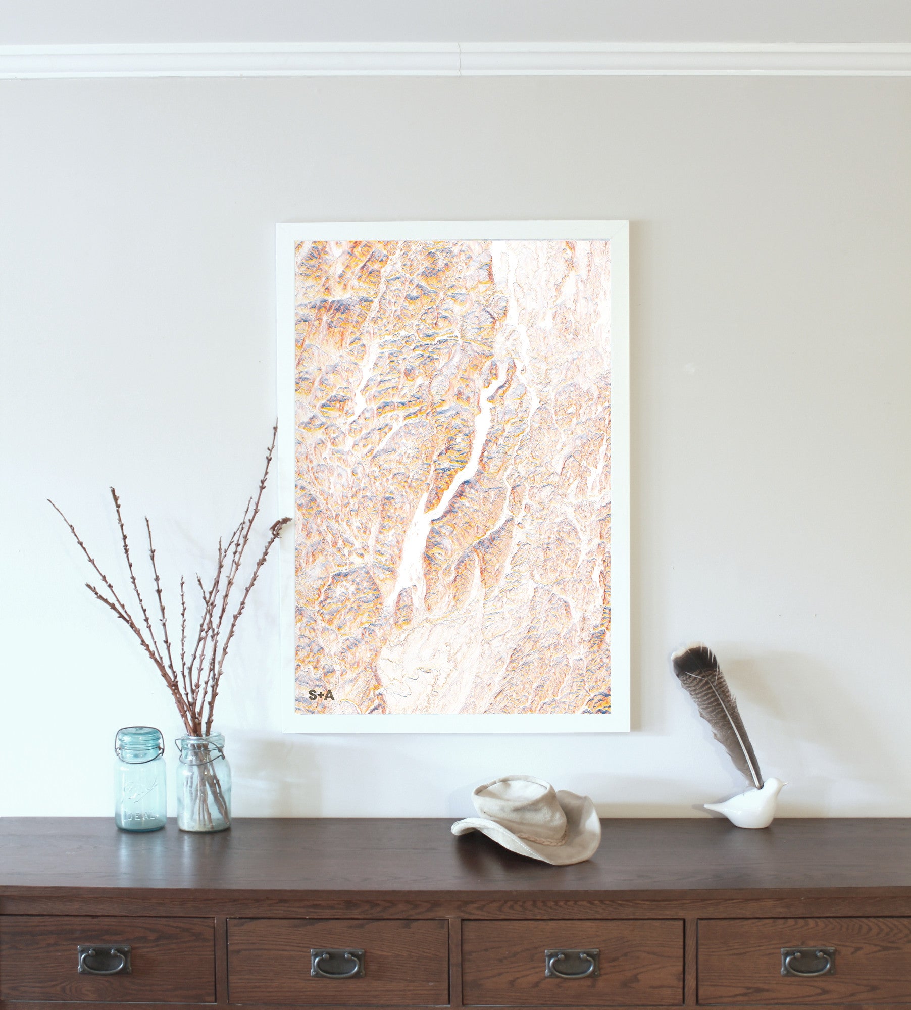
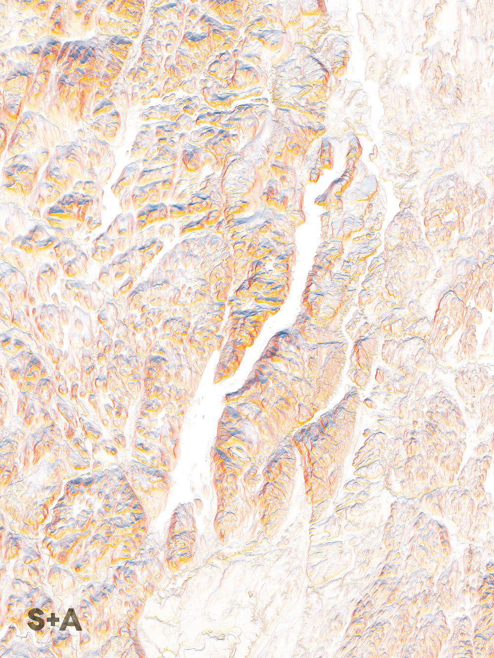
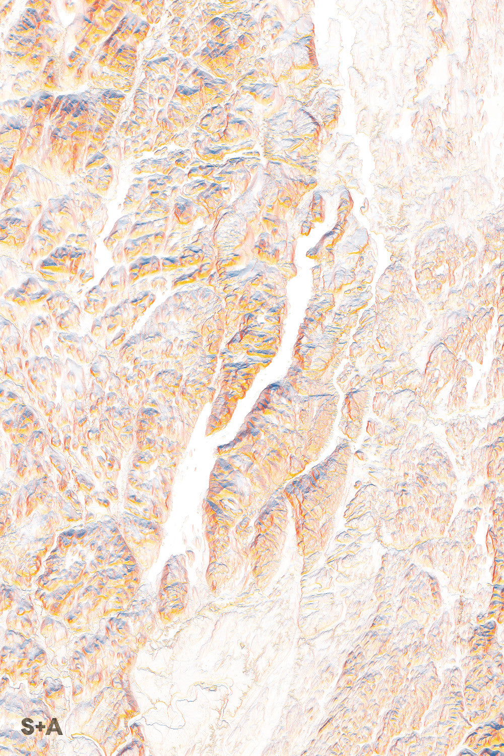
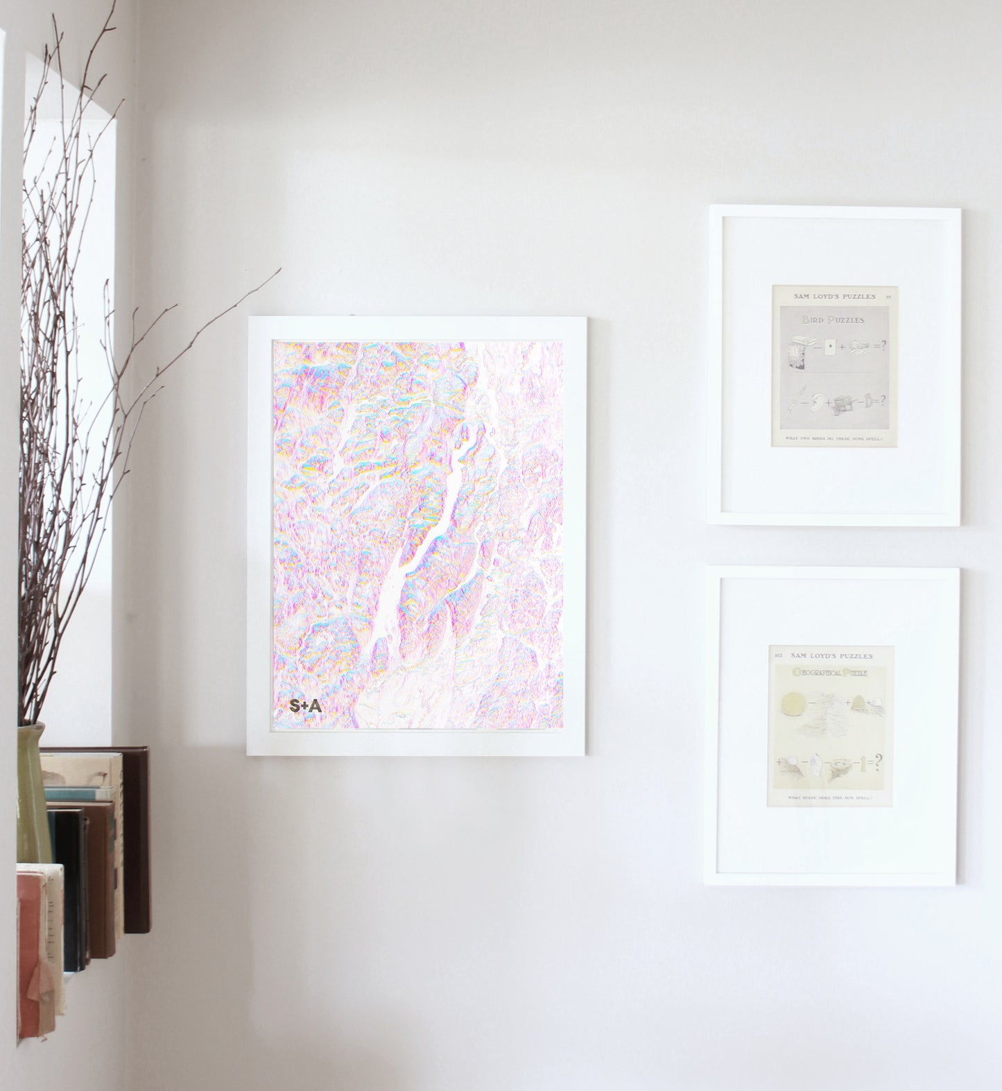
Just off of the Northway, on the southeastern corner of the Adirondack State Park sits the 32-mile long Lake George. Heading north from the village of Lake George, the eastern shore has several bays, including Van Warner Bay and Kattskill Bay. The middle of the lake opens up past Dome Island and the entrance of Northwest Bay. The main lake continues to the northeast, through a series of picturesque islands, including Fourteenmile, Turtle, and Big Burnt Island. Steep slopes fall off quickly from Tongue Mountain to the west and Black Mountain to the east. As you approach the northern reaches of the lake, Lake George flows into the La Chute River briefly before continuing into Lake Champlain.
A note about frames: We have had great success with Studio Décor Belmont frames from Michael's. Both 18" x 24" and 24" x 36" frames can be purchased here.
Notes about prints:
Printed on an Epson Stylus Pro 7900
Using Epson UltraChrome HDR ink-jet technology
Paper is 10.3 mil thick Heavyweight stock Epson Enhanced Matte Paper
Maps are shipped rolled
Maps are printed full bleed, but provide a 1/2-inch for matting and/or framing