

slopeandaspect
East Bay
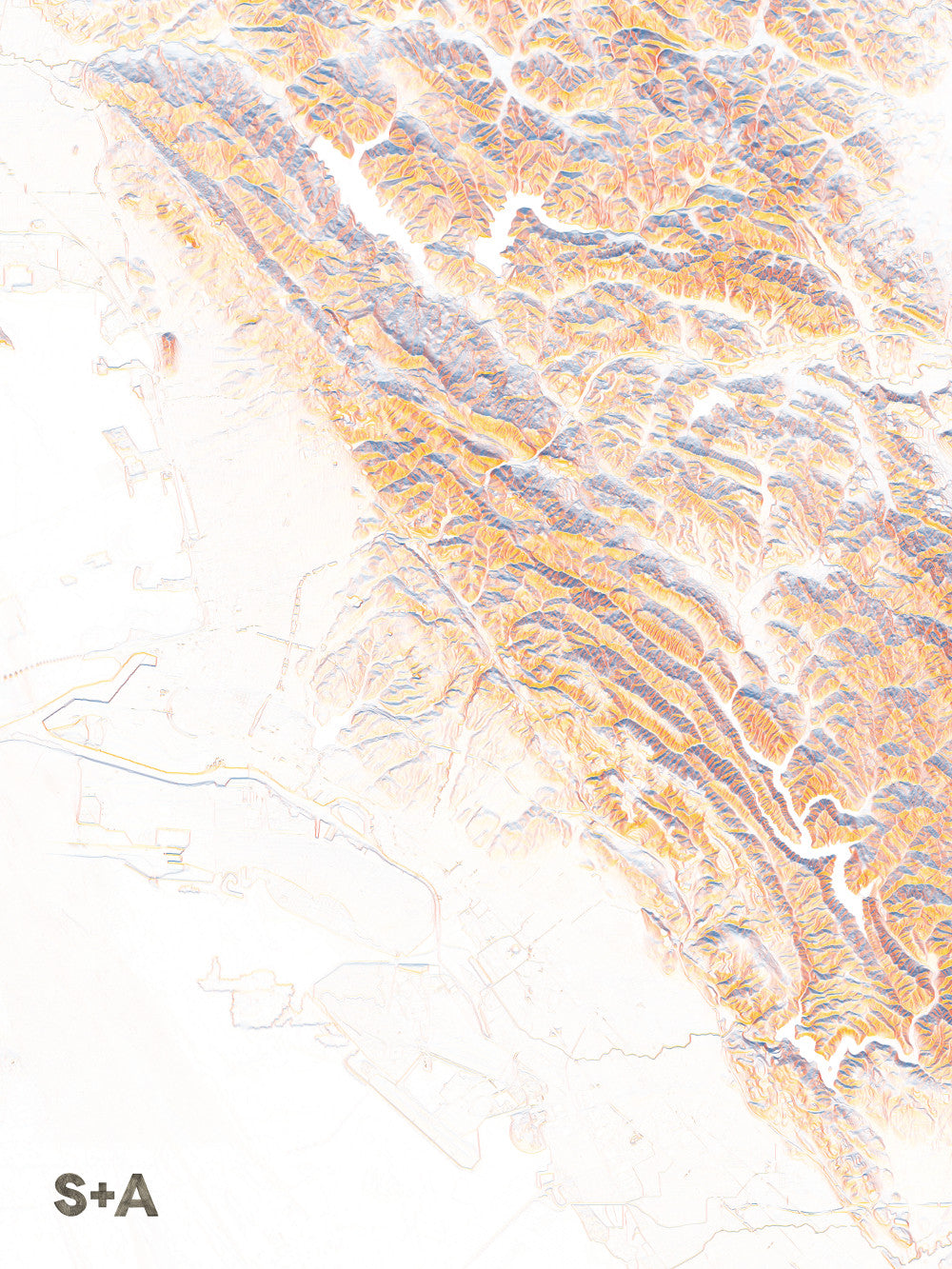
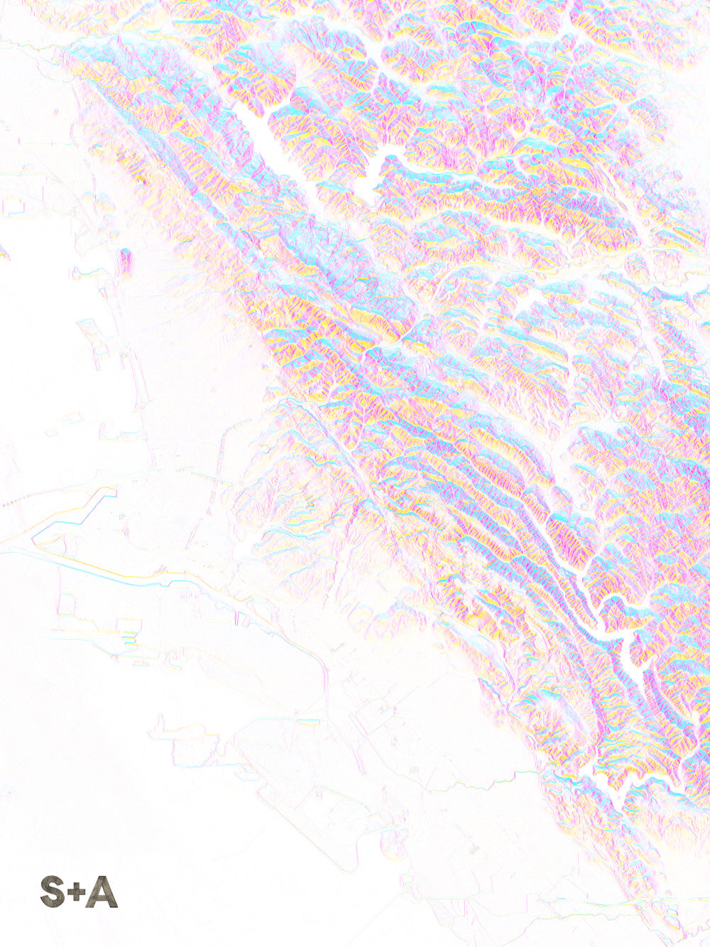
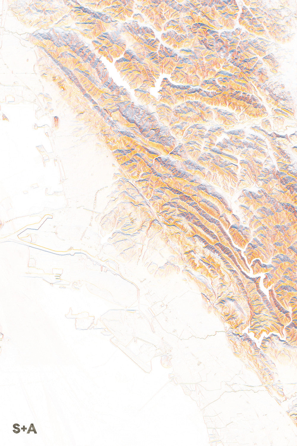
East Bay
Couldn't load pickup availability
This map focuses on the East Bay, from the western shoreline of San Francisco Bay, across the island of Alameda, through the flat downtown areas of Berkeley, Oakland, and the surrounding cities of Albany and El Cerrito, up into the steep hills and ravines east of these urban hubs. The contrasts are gorgeous, and the climbs up to Tilden Park and Redwood Regional Park are obvious, pushed forward with deep, saturated colors. But the subtle features are just as interesting, where highways wind through urban areas and Lake Merritt sinks into the landscape at the base of the Oakland Hills.
10-meter elevation data from the USGS 3D Elevation Program, downloaded from The National Map.
A note about frames: We have had great success with Studio Décor Belmont frames from Michael's. Both 18" x 24" and 24" x 36" frames can be purchased here.
Notes about prints:
- Printed on an Epson Stylus Pro 7900
- Using Epson UltraChrome HDR ink-jet technology
- Paper is 10.3 mil thick Heavyweight stock Epson Enhanced Matte Paper
- Maps are shipped rolled
- Maps are printed full bleed, but provide a 1/2-inch for matting and/or framing
Share