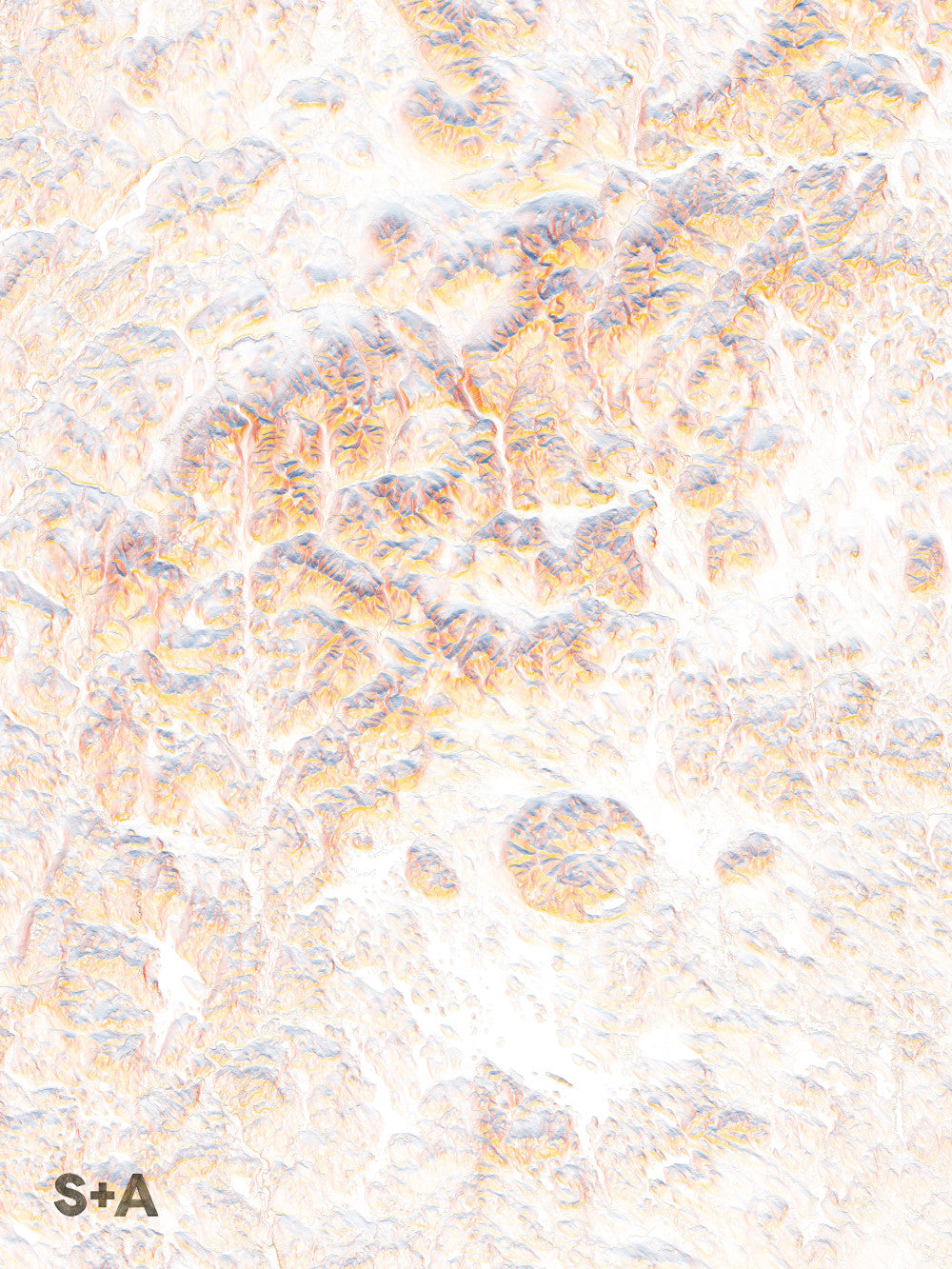
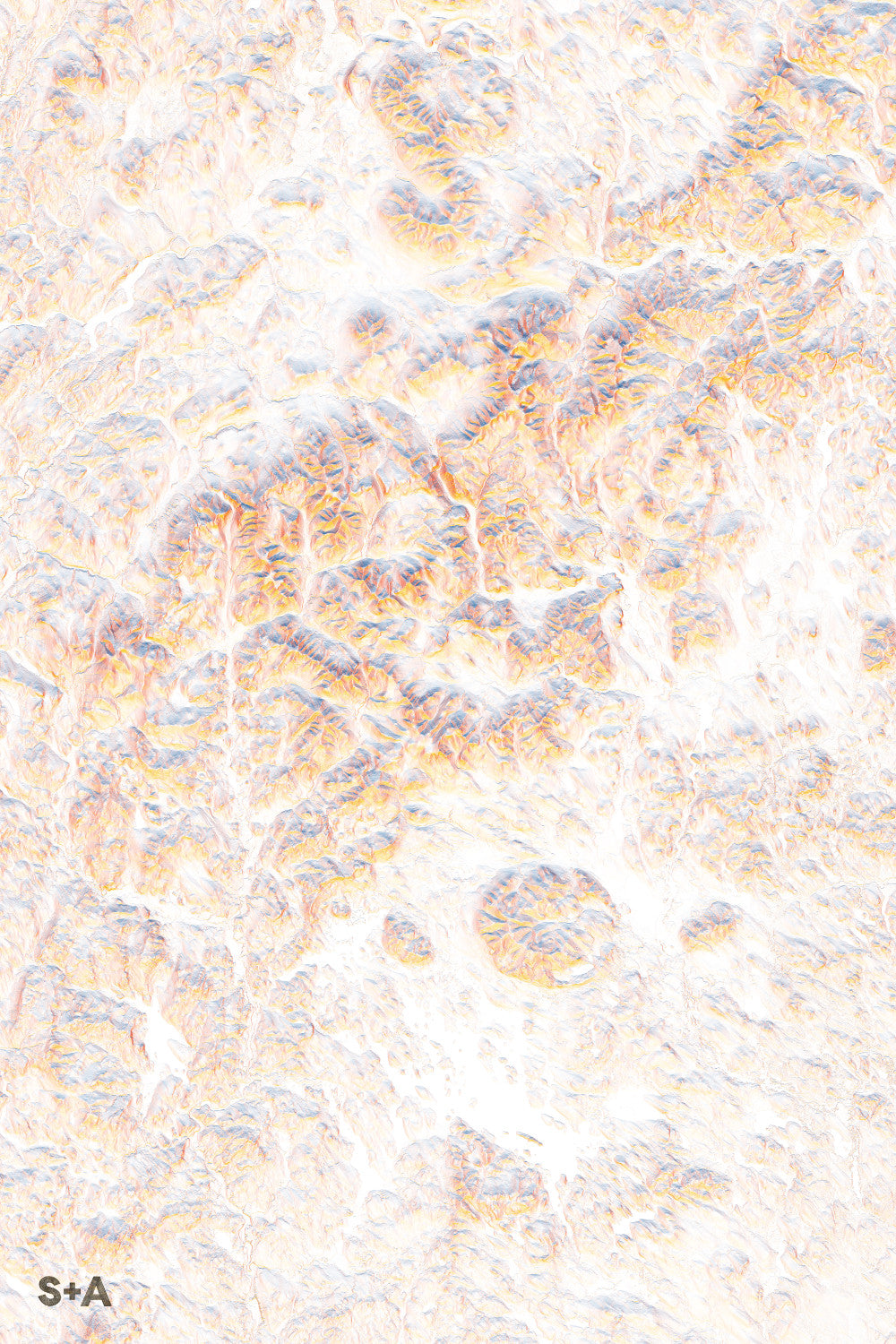
The islands and bays of Lake Winnipesaukee dot the landscape at the southern edge of the White Mountains National Forest and the Presidential Range. On the eastern edge of the forest sits North Conway along the Saco River; a great starting location for some classic rock climbing routes, including Cathedral and Whitehorse Ledges. Ski areas dot the forest, from Cannon Mountain in the north, Loon Mountain in the center, and Waterville Valley in the south. Mount Washington, the tallest mountain in the eastern United States, with a summit 6,289 feet, is home to Tuckerman Ravine, one of the most popular backcountry skiing routes in New England.
A note about frames: We have had great success with Studio Décor Belmont frames from Michael's. Both 18" x 24" and 24" x 36" frames can be purchased here.
Notes about prints:
Printed on an Epson Stylus Pro 7900
Using Epson UltraChrome HDR ink-jet technology
Paper is 10.3 mil thick Heavyweight stock Epson Enhanced Matte Paper
Maps are shipped rolled
Maps are printed full bleed, but provide a 1/2-inch for matting and/or framing